Category :
MasterPlan
Project :
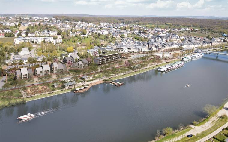
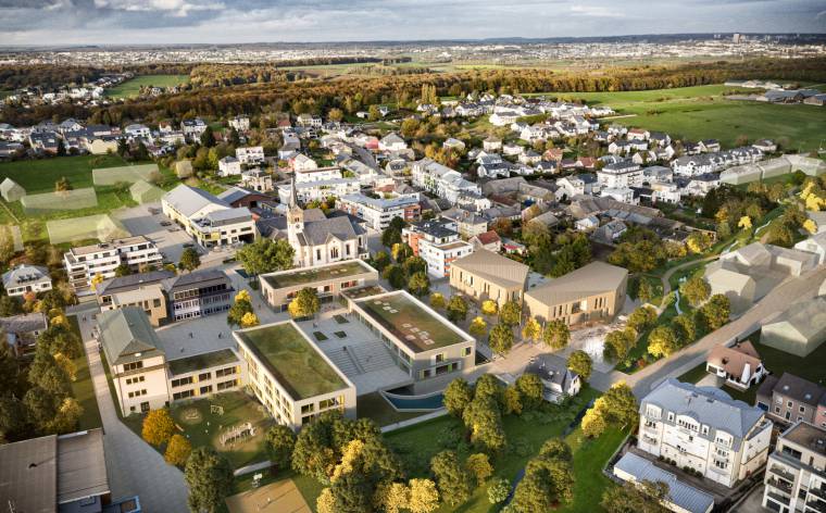
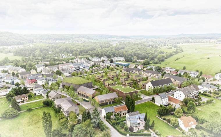
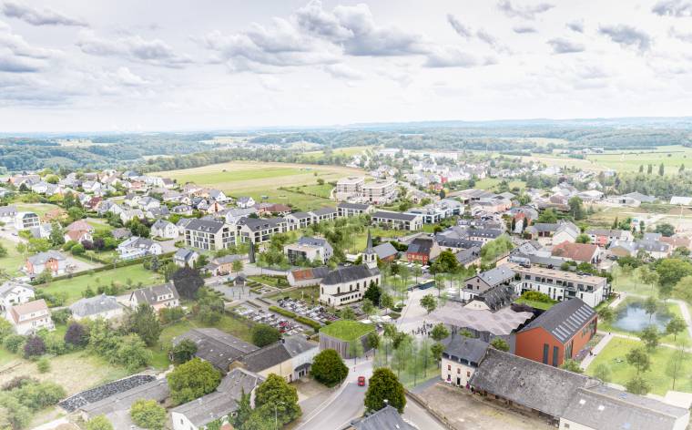
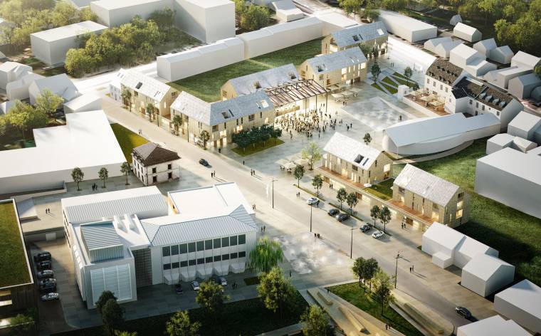
Main Axis, Nordstad - Ettelbruck, Erpeldange, Diekirch (LUX)
Client :
Ministère de l’Intérieur, Ministère de l'Aménagement du Territoire
Country :
Luxemburg
Area :
255 ha
Start of planning :
2007
Share on
")


project Development of an urbanistic concept for the restructuration of the main axis between the municipalities Ettelbruck, Erpeldange and Diekirch in Luxembourg, in the context of the Nordstad Convention contracting authority Ministère de l’Intérieur et de l’Aménagement du Territoire planning WW+, BS+, Bernard Sattler, Besch da Costa architectes, stadtland, Trafico, TR-Engineering overall surface 25.500 ares
The Nordstad forms the geological border between the regions „Eisléck“ and „Gutland“. The fields of force between the rural north and the urban region of the capital overlap. The variety and the contrasts make the special appeal and the attractiveness of the Nordstad landscape. In the legend, this is the place where the rough giant “Eisléck” and the mild woman “Gutland” meet... The urbanistic and landscaping concept emphasises the border farmland - city by (re)discovering and putting forth important identification features of the landscape and by connecting the qualities of both spheres. The specific characteristics and the competence of the Nordstad are being developed and are distinguishing it from other cities. The Nordstad represents a complementary contrast to the capital and to the south region of Esch. The three development centres complement one another by sharing the division of labour to an efficient urban network.
- zentrale Achse nordstad luxembourg ger
Downloads
Contact us !